
NOAA Raises Alert as a Possible Super El Niño Gains Strength and Could Reshape Global Weather This Fall

- Super El Niño gains strength.
- NOAA updates forecast.
- Global weather could change.
The chances that Super El Niño will reach historic levels in the coming months have increased significantly, according to the latest update from the National Oceanic and Atmospheric Administration (NOAA).
The U.S. agency has substantially raised its forecast and now considers it much more likely that this climate event will become one of the strongest ever recorded.
The expected intensification would occur after the peak of the Atlantic hurricane season, a critical period for the evolution of global weather patterns.
Experts warn that an exceptionally powerful Super El Niño could alter not only tropical cyclone activity but also weather conditions across many regions of the world.
The Probability of a Historic Event Continues to Rise
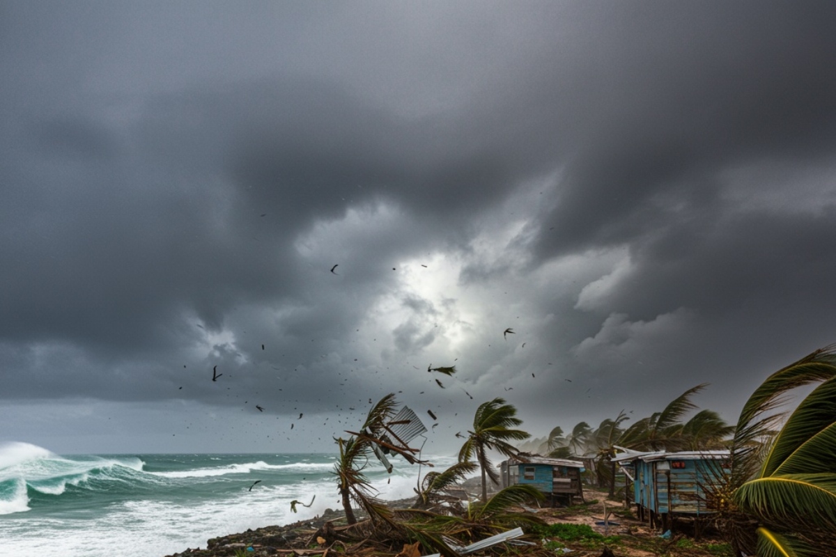
In its latest update, NOAA reported an 81% probability that El Niño will reach an intensity comparable to some of the strongest events on record.
That represents a significant increase from the June forecast, when the probability stood at 63%.
YOU MAY ALSO BE INTERESTED IN: Severe Storms Threaten Flooding and Damaging Winds Across Much of the United States
The agency expects the phenomenon to continue strengthening throughout the fall, reaching its peak between October and December.
NOAA also estimates a 97% chance that El Niño conditions will remain in place through next spring.
What Is El Niño and Why Does It Affect the Weather?
El Niño is part of the El Niño–Southern Oscillation (ENSO), a natural climate cycle that influences sea surface temperatures in the equatorial Pacific Ocean.
When Pacific Ocean surface waters become warmer than average, atmospheric circulation shifts, disrupting weather patterns around the globe.
These changes influence rainfall, temperatures, and storm development in many regions.
The other phases of the ENSO cycle are La Niña, which is associated with cooler-than-average Pacific waters, and the neutral phase, when ocean temperatures remain close to average.
The Atlantic Could See Fewer Hurricanes
One of El Niño’s best-known effects is its impact on the Atlantic hurricane season.
During El Niño events, the subtropical jet stream typically strengthens and extends farther across the Caribbean and Atlantic.
The stronger upper-level winds increase wind shear, making it more difficult for tropical cyclones to organize and intensify.
As a result, conditions generally become less favorable for hurricane development.
While the Atlantic Calms, the Pacific Changes
The effects are not the same across all ocean basins.
While Atlantic hurricane activity typically decreases, atmospheric conditions over the Pacific respond differently.
Moderate El Niño conditions are already present across the central Pacific, supporting forecasts that the system will continue strengthening over the coming months.
Scientists are continuing to monitor ocean conditions to determine the event’s ultimate intensity.
Colorado State University Revises Its Forecast
Colorado State University (CSU), widely recognized for its seasonal hurricane forecasts, has also updated its outlook.
The university once again lowered its Atlantic hurricane season forecast because of the increasing likelihood of a stronger Super El Niño.
Researchers believe the climate pattern will reach its maximum strength during the most active part of the hurricane season.
That period typically runs from mid-August through mid-October, when the Atlantic usually experiences the highest number of tropical cyclones.
Winter Weather Could Also Be Affected
The effects of a strong El Niño do not end with hurricane season.
NOAA notes that the phenomenon also has a significant impact on winter weather across the United States.
Changes in atmospheric circulation can alter normal temperature and precipitation patterns across much of the contiguous United States.
With conditions increasingly favoring the development of a Super El Niño, experts will continue monitoring the Pacific Ocean closely, as its evolution could significantly influence global weather in the coming months, according to Fox Weather.
¿Te gustó este artículo? ¡Compártelo!
¡No te pierdas las noticias!
Suscríbete y recibe lo más importante directamente en tu correo
Artículos relacionados
Recomendado por IA
Aseguran que El Niño afectará este invierno en EEUU

Nueva Orleans en alerta por riesgo creciente de inundaciones y clima severo

Advierten sobre granizo de gorila en EEUU y revelan en qué lugares caerá

NOAA prevé hasta 10 huracanes para 2025 en el Atlántico: una temporada por encima del promedio

Clima invernal pone en alerta a más de 35 millones de personas en EE. UU.

Comentarios 0
Sé el primero en comentar