Three Systems Threaten Severe Storms and Possible Tornadoes Across Several U.S. Regions

- Severe Storms in the US
- Elevated Risk in the North
- Extreme Heat Persists
A complex atmospheric pattern will keep unstable conditions across large areas of the United States during the weekend, driven by three systems interacting at the same time.
A low-pressure system in the Northeast will slowly move toward the Canadian Atlantic, while a disturbance in the central part of the country will shift toward the lower Midwest.
At the same time, a broad trough in the West and its associated cold front will continue moving east, reaching the Rocky Mountains and later the Great Plains.
The combination of these phenomena will produce rain, thunderstorms, and temperature variations that will affect different regions unevenly.
Wide Area Under Rain and Storms
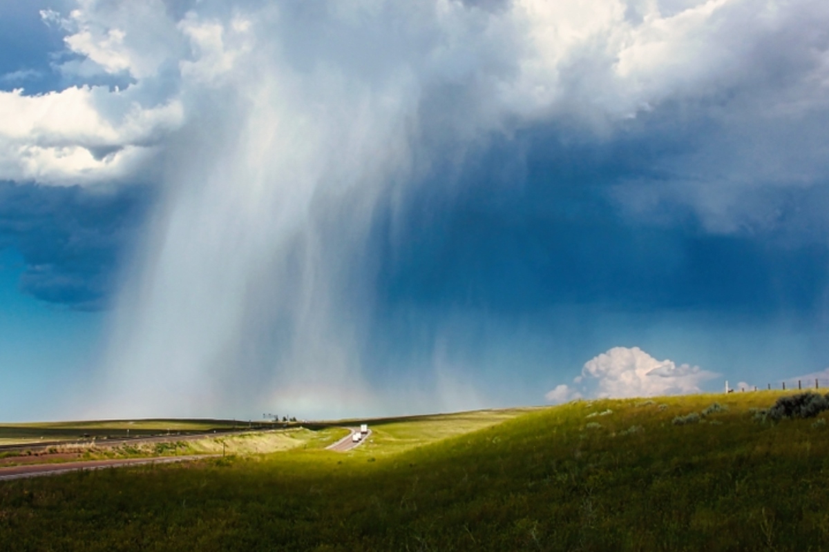
Three systems threaten the U.S. with rain and possible tornadoes — Photo: Shutterstock
Sunday is expected to be an especially active day from the northern Great Plains to the Mississippi Valley, extending into parts of the Midwest and the Mid-Atlantic.
Showers and widespread thunderstorms are expected in these areas, while activity toward the Northeast will be more scattered.
YOU MAY BE INTERESTED IN: BREAKING: Tropical Storm Amanda Forms, the First of the 2026 Hurricane Season
In the far northwestern part of the country, particularly northern Washington and Idaho near the Canadian border, isolated precipitation could occur.
By contrast, the Great Lakes region and much of the West Coast will maintain more stable conditions compared with other parts of the country.
Elevated Risk in the Great Plains
The greatest potential for strong storms will be concentrated in southeastern Montana, northeastern Wyoming, western South Dakota, and large areas of North Dakota.
The Storm Prediction Center has issued an Enhanced Risk, level 3 of 5, for this zone, where damaging wind gusts, large hail, and even an isolated tornado could occur.
The most intense activity is expected during the afternoon and evening, with locally heavy rain capable of causing isolated flooding in vulnerable areas.
Farther south, from eastern Oklahoma to Arkansas and southwestern Missouri, some storms could strengthen and generate brief, weak tornadoes.
Extreme Heat Contrasts With Cooler Areas
While part of the country faces storms, other regions will experience sharp temperature contrasts, especially in the Northwest and mountainous areas where highs will range between the 50s and 70s Fahrenheit.
The interior Northeast will maintain mild temperatures, while much of the central and eastern United States will reach values in the 70s and 80s.
The highest temperatures, above 90 degrees Fahrenheit, will be concentrated in the Great Plains, the Mid-Atlantic, and parts of the Southeast.
In the desert Southwest, the heat will remain extreme, with triple-digit readings reinforcing the climate contrast amid a pattern dominated by active systems and the risk of severe storms, Weatherbug reported.
¿Te gustó este artículo? ¡Compártelo!
¡No te pierdas las noticias!
Suscríbete y recibe lo más importante directamente en tu correo
Comentarios 0
Sé el primero en comentar