
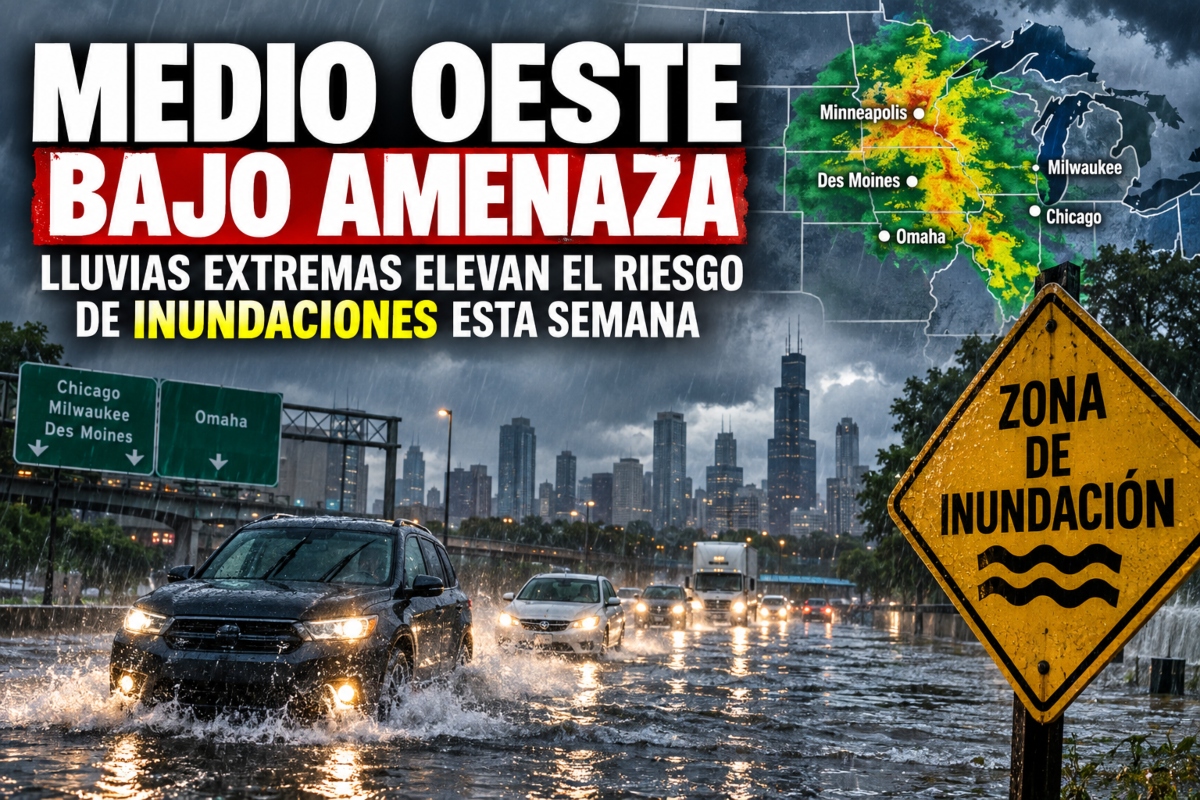
Midwest Under Threat: Extreme Rainfall Raises Flood Risk

- Rain threatens the Midwest
- Up to 5 inches expected
- Chicago and Omaha at risk
The Midwest is facing another week of hazardous weather, with new rounds of intense rainfall capable of worsening conditions in already saturated areas.
September started exceptionally rainy in some areas and, in certain places, it’s already the wettest start to the month on record.
The situation could become more complicated between Sunday and Thursday, when several storms repeatedly hit the same corridors and increase the likelihood of sudden flooding.
Large metropolitan areas like Chicago, Milwaukee, Des Moines, and Omaha are included in a level 2 out of 4 flash flood threat until Wednesday.
Floods Threaten the Midwest
STORMY STRETCH ⚡️: The soggy September saga continues across parts of the Midwest, with ongoing downpours and severe weather threats. Flash flooding will become increasingly likely and severe storms are expected to fire off later this afternoon. Full forecast: pic.twitter.com/PU53DPHFNt
— FOX Weather (@foxweather) September 13, 2026
A system coming from the northwest Pacific will arrive in the Midwest between Sunday and Monday, picking up moisture as it moves into the region.
Although the low pressure will strengthen mainly over Canada, the associated cold front will favor conditions for potentially severe storms on Monday.
YOU MAY BE INTERESTED: 2026 Hurricane Season Breaks Record, But One Area Near the US Is Causing Concern
The severe risk level 1 out of 5 extends from Wisconsin to Nebraska, with damaging wind gusts being one of the main threats.
Around Omaha, the danger increases to level 2 out of 5 due to the possibility of a more concentrated area of strong storms forming.
Omaha and Other Cities Face Severe Storms
“At this time, if the morning storms move away, there will be a possibility of severe weather phenomena,” said the FOX Forecast Center.
The situation could become more delicate as the cold front advances and becomes nearly stationary, allowing new storms to repeatedly cross similar areas.
Mozambique Channel moisture will fuel these storms and could generate rainfall with intensities of 1 to 2 inches per hour.
Iowa and southern Minnesota could accumulate 3 to 5 inches, while the corridor between Chicago and Omaha could receive 2 to 3 inches.
Saturated Soils Increase Flood Risk
The problem is that Iowa, Minnesota, and other parts of the Midwest already have saturated soils, so smaller amounts of rain could trigger flooding quickly.
Successive storms can accelerate runoff and cause dangerous water accumulations in streets, low-lying areas, and sectors near small streams.
The flash flood risk remains at level 2 out of 4 daily until Wednesday, while the rain could continue at least until Thursday morning.
This keeps millions of Midwest residents under surveillance during a week when each new storm could worsen the problems left by the previous ones.
What Can You Do About Flash Flooding?
Flash flooding can develop rapidly when intense rainfall hits saturated ground, especially in urban streets and low-lying areas.
Drivers should pay special attention to flooded roads, where the depth of the water can be difficult to calculate during a storm.
Those living near small streams or flood-prone areas should follow local alerts as successive rounds of rain continue.
The threat could persist for much of the week, especially if storms concentrate again over areas that have already received heavy precipitation.
Sources: Fox Weather,
¿Te gustó este artículo? ¡Compártelo!
¡No te pierdas las noticias!
Suscríbete y recibe lo más importante directamente en tu correo
Artículos relacionados
Recomendado por IA
La amenaza de inundaciones repentinas se intensifica en Nueva York y el noreste por patrón climático estancado

Lluvias torrenciales amenazan al centro-sur de EEUU con inundaciones severas

El sur de EEUU en riesgo por intensas lluvias e inundaciones repentinas

Chicago, Detroit e Indianápolis bajo amenaza de tormentas severas mientras el clima extremo regresa al Medio Oeste

Tormentas y lluvias severas en Oklahoma City dejan peligrosas inundaciones

Comentarios 0
Sé el primero en comentar