
Midwest Storms Put Region on Alert: Chicago Faces Double Threat

- Severe storms in the Midwest
- Rainfall could reach 5 inches
- Flooding threatens several cities
Millions of people are facing a week marked by severe storms in the Midwest and the Great Lakes, with heavy rains capable of causing flash flooding in urban areas.
The episode begins this Sunday, August 9, when a stream of moisture from the Gulf will advance north and coincide with a developing low-pressure system.
Northern Illinois, eastern Iowa, and southern Wisconsin are among the areas where organized storms could form, while cities like Chicago will have to monitor the deterioration of conditions.
The threat will not end this Sunday: the system will advance slowly and could maintain rainfall and storms for several days, extending the risk to Detroit, Cleveland, and Pittsburgh.
Chicago Faces Severe Storms, Strong Winds, and Possible Tornado
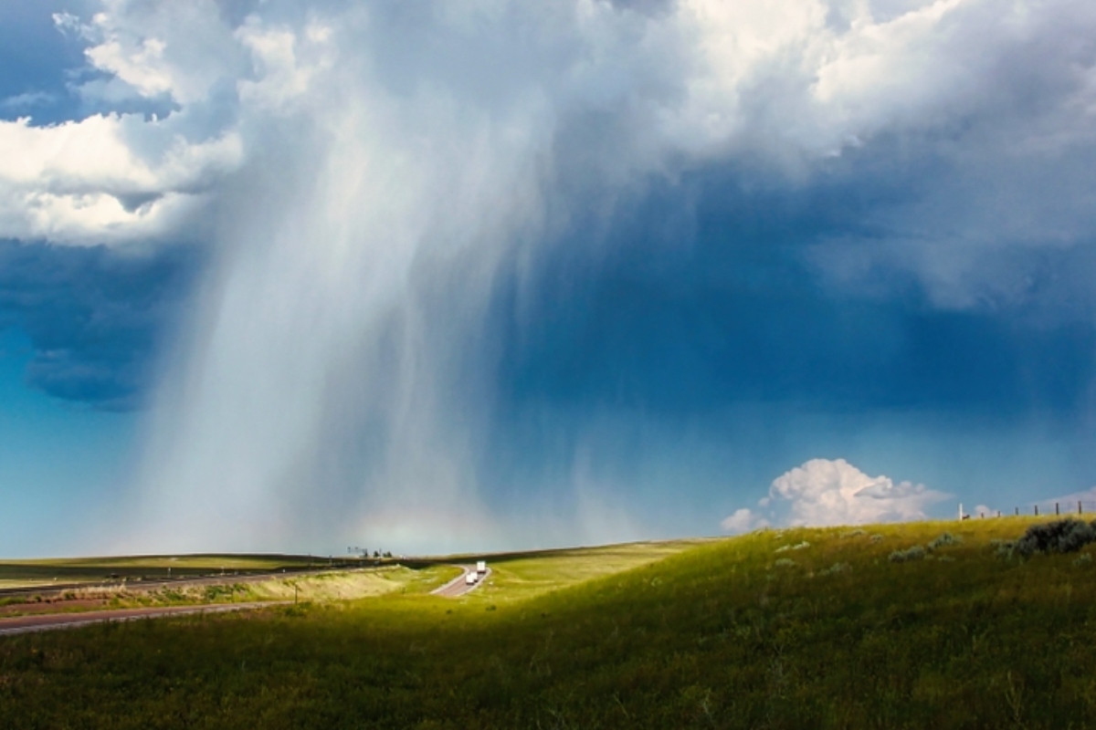
For this Sunday, a risk of severe storms of level 2 out of 5 has been established in sectors of northern Illinois, eastern Iowa, and western Indiana, according to the forecast.
Chicago is included in this zone and faces mainly the possibility of damaging winds, in addition to conditions that could favor the formation of a tornado during the most intense storms.
YOU MAY BE INTERESTED: U.S. to issue commemorative passports with an image of Trump starting in August
A second line of storms could cross southern Wisconsin and northern Illinois towards the late afternoon hours, increasing the possibility of new downpours over previously affected areas.
The repetition of intense rainfall represents an additional problem for cities, where large amounts of water in relatively short periods can rapidly increase the danger of flash flooding.
Storms to Advance Towards Detroit, Cleveland, and Pittsburgh on Monday
On Monday, a slow-moving cold front will shift the focus of the bad weather slightly to the east, although Chicago will remain within the area where strong storms could occur.
The risk of level 2 out of 5 will also cover major urban centers like Detroit, Cleveland, and Pittsburgh, placing millions of residents under the possibility of hazardous weather conditions.
Strong winds appear again as the main concern for Monday, but successive storms could dump rain over the same areas and significantly increase the risk of flooding.
For Tuesday, the front will continue to move east and favor more episodes of heavy rain and thunderstorms from the Midwest to the Ohio Valley.
Rainfall Could Reach 5 Inches Between Indiana and Ohio
Between Chicago and Cleveland, general accumulations of 2 to 3 inches of rain could be recorded, while some particularly affected areas could receive considerably higher amounts.
In areas of northern Indiana and Ohio, where storms could pass repeatedly, localized accumulations could reach between 3 and 5 inches, increasing the danger for streets and vulnerable communities.
The risk of flash flooding will remain from this Sunday to Wednesday in sectors of the southern Great Lakes, while the pattern of rainfall could last even longer.
The precipitation could continue until Thursday and leave localized accumulations of more than 6 inches in West Virginia before the end of the week, expanding the impact of the system to the east, according to Fox Weather.
¿Te gustó este artículo? ¡Compártelo!
¡No te pierdas las noticias!
Suscríbete y recibe lo más importante directamente en tu correo
Artículos relacionados
Recomendado por IA
Chicago, Detroit e Indianápolis bajo amenaza de tormentas severas mientras el clima extremo regresa al Medio Oeste

Alerta en Chicago y el Medio Oeste: se avecina una nueva ronda de clima severo con tormentas y calor extremo

Chicago y Milwaukee en alerta por tornados destructivos y vientos con fuerza de huracán

Pronostican nueva tormenta invernal para Chicago y emiten alerta

Dos tormentas ponen en alerta millones en EE.UU. a partir de este domingo

Comentarios 0
Sé el primero en comentar