
Atlantic on Alert: Two Tropical Systems Could Strengthen Near Puerto Rico

- Tropical threats in the Atlantic
- Puerto Rico enters observation
- The peak cyclonic season approaches
The Atlantic hurricane season is starting to show more activity with two areas under surveillance, just as the historically most active period of the year approaches.
A disturbance is located near Bermuda, while a more organized tropical wave moves westward from Africa, according to an analysis released by AccuWeather meteorologists.
For now, neither of the two systems poses a confirmed threat to the United States, Puerto Rico, or the Caribbean, but their evolution over the next few days will be crucial.
The timing is also noteworthy: historically, tropical activity increases rapidly from late August and reaches its climatic peak around September 10.
Why it matters: the critical period of Atlantic hurricanes begins
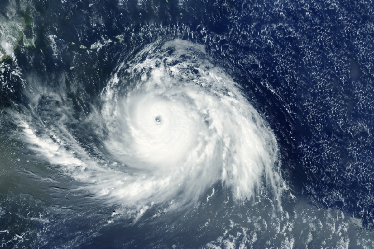
For communities in the Caribbean and the US coast, the simultaneous appearance of these systems reminds us that the statistically most active stage of the season is still ahead.
The disturbance near Bermuda has a low-level circulation separate from the main area of thunderstorms, a structure that so far limits its organization.
YOU MAY BE INTERESTED IN: The US will issue commemorative passports with an image of Trump starting in August
Alex DaSilva, AccuWeather’s lead hurricane expert, explained that relatively rapid strengthening could occur if the center manages to align under the thunderstorms.
Atmospheric conditions would keep this system fairly east of the United States, although it could cause strong winds and hazardous marine conditions on transatlantic routes.
The fact: a tropical wave from Africa gains attention
The second area under surveillance corresponds to a large tropical wave that emerged from western Africa and shows better organization than many of those observed earlier this season.
These waves are common during this time: between late August and September, they can leave Africa every two to four days, although only a small proportion eventually develops.
The system will encounter obstacles such as dry air and areas of strong wind shear, factors that can disrupt storms and prevent a tropical circulation from consolidating.
AccuWeather considers that this wave has a medium probability of becoming a tropical depression by the end of the weekend, although there is still considerable uncertainty about its evolution.
The process: Puerto Rico enters the surveillance scenario
If the wave remains organized and passes northeast of the Leeward Islands between the end of the weekend and the beginning of next week, it would find potentially more favorable conditions.
In that scenario, it could strengthen to tropical storm or even hurricane category north of Puerto Rico, although that possibility still depends on its trajectory and development.
DaSilva noted that if it develops and strengthens while crossing the Atlantic, it would also increase the possibility of later making a turn to the north.
This behavior occurs as El Niño continues to intensify, a phenomenon that can increase wind shear over the Atlantic and make it more difficult for tropical cyclones to form and strengthen.
What you can do in the face of the new tropical threats
Those living in Puerto Rico, the Leeward Islands, and other areas of the Caribbean should follow official forecasts during this week, without interpreting these systems as confirmed hurricanes yet.
It is also an opportune time to review supplies, medications, important documents, batteries, and family plans before a threat with a defined trajectory appears.
Residents of the US coast should not let their guard down just because initial models keep these systems at a distance, as forecasts can change as they evolve.
With the climatic peak approaching, the two disturbances mark an important transition: the Atlantic is now entering the weeks when there is historically greater potential for developing storms and hurricanes, AccuWeather pointed out.
¿Te gustó este artículo? ¡Compártelo!
¡No te pierdas las noticias!
Suscríbete y recibe lo más importante directamente en tu correo
Artículos relacionados
Recomendado por IA
Emiten aviso para Puerto Rico ante fenómeno que podría convertirse en tormenta tropical esta noche

ACTUALIZACIÓN: Emiten alerta. Potencial depresión tropical se extiende de México a costa sur de EEUU

El huracán Sam y la tormenta Víctor se fortalecen en el Atlántico y emiten alerta

Activan las alertas por tormenta que podría afectar el Caribe y EEUU esta semana

Estados Unidos en alerta por tormenta tropical que se espera se convierta en huracán

Comentarios 0
Sé el primero en comentar